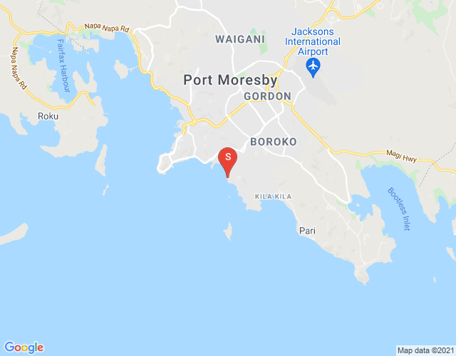
Gabutu Location Profile

Overview


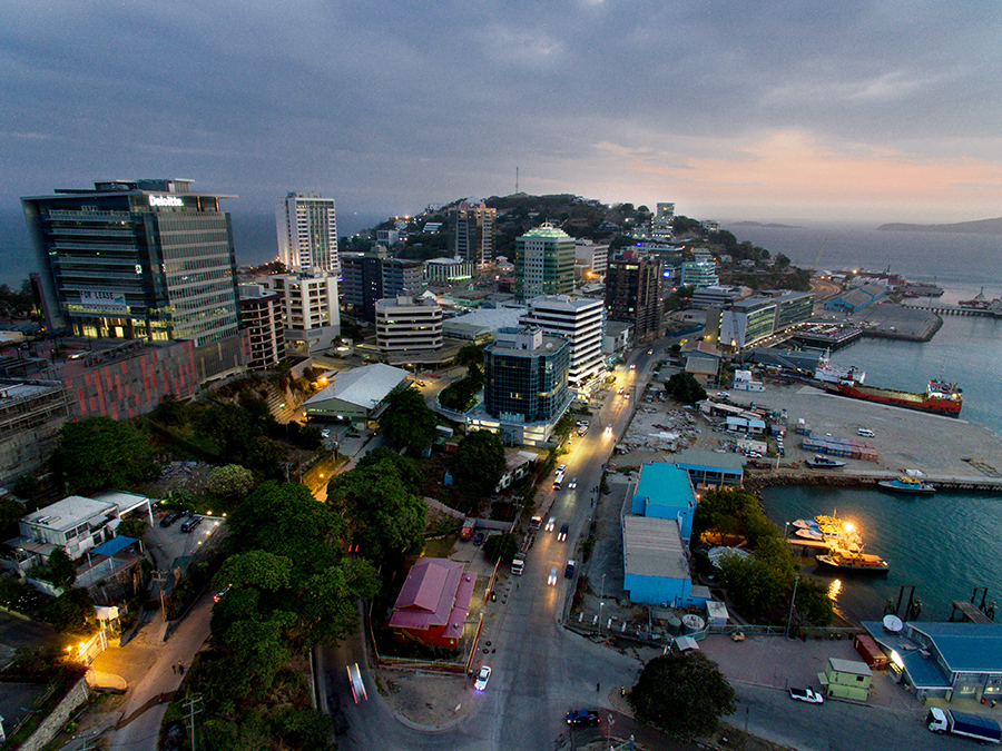
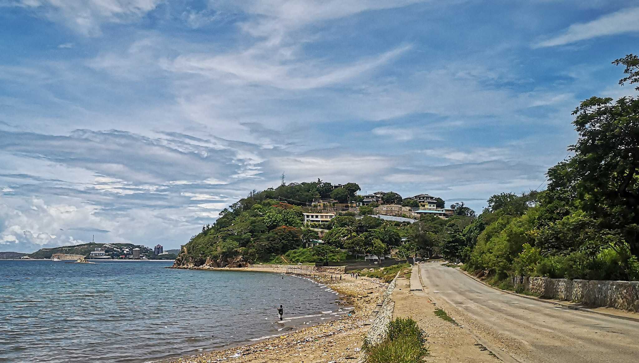
Gabutu is a coastal suburb located in the southern part of Port Moresby, offering picturesque views of Walter Bay, Manubada Island, and the Coral Sea in the background.
This scenic area of the PNG capital was a favored residential spot for middle-class families during the colonial era. Today, Konebada Beach remains a popular destination for residents, while Manubada Island, just off the coast, is a favored picnic spot for city dwellers.
Gabutu is primarily a residential area, with the exception of Karius Road, where a few local businesses are situated. This road also serves as the only access route for drivers heading to the Taikone and Vabukori villages.